The Road to Bangor

room 26 ECHOES

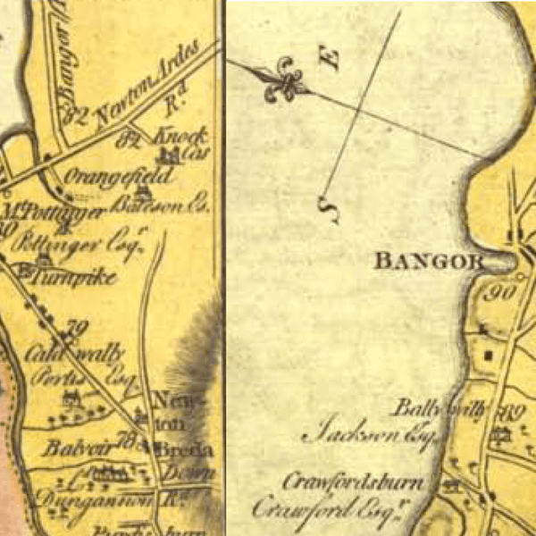
A talking guide to Townlands along the A2 and the railway from Belfast to Bangor. 
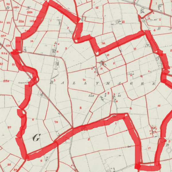
For the definitive mapping of the townlands consult https://www.logainm.ie/ For more about a particular townland look up Karolyn Cooper's https://townlandsofulster.com/


DOWNLOAD OUR APP TO DISCOVER THIS TOUR AND MANY OTHERS.

play-storeapp-store

The Echoes


Ballymacarret

Ballymacarrett with one or two two tee’s comes from the Irish Baile Mhic Gearóid meaning MacGearóid'…

Strandtown

So where is the strand? There’s no beach here, just a muddy river called the Connswater. But in the…

Ballymisert

Ballymisert lies north-east of Strandtown, across the Bangor road from the Sydenham intake, which co…

Ballymaghan

aka Glenmachan. lies south of Knocknagoney, one of the five church lands supporting the church of Ho…

Knocknagoney

The hill of the rabbits

Discover more geolocated content in our apps.

play-storeapple-app-store


Or start creating tours, treasure hunts, POI maps... Just let your imagination guide you.

SIGN UP

Are you a creator?

START HERE

Privacy & cookie policy / Terms and conditions

© ECHOES. All rights reserved / ECHOES.XYZ Limited is a company registered in England and Wales, Registered office at Merston Common Cottage, Merston, Chichester, West Sussex, PO20 1BE

v2.4.4 © ECHOES. All rights reserved.