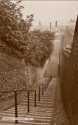
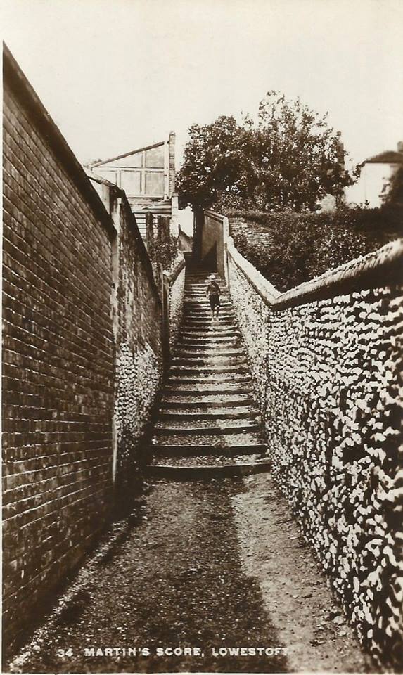
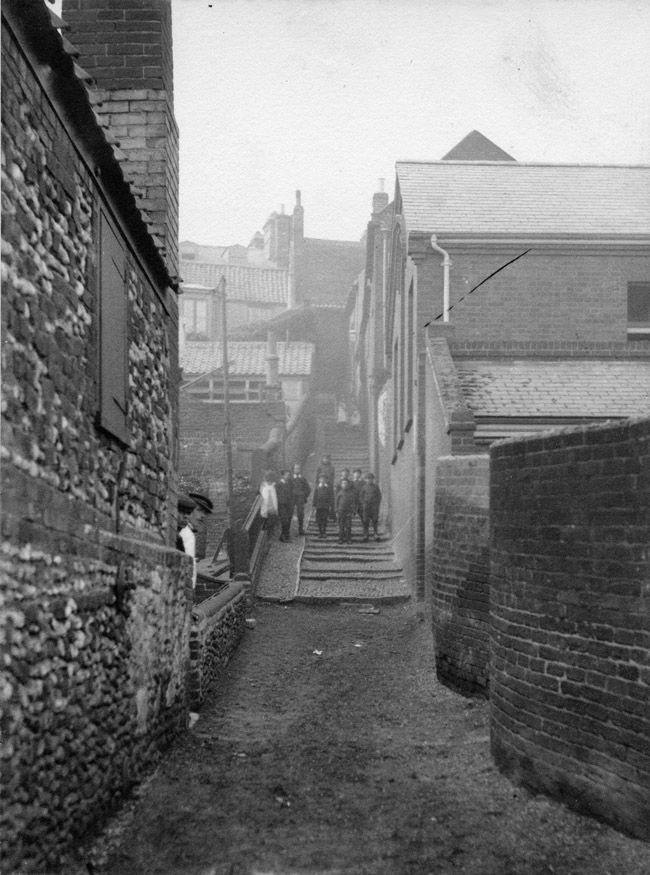
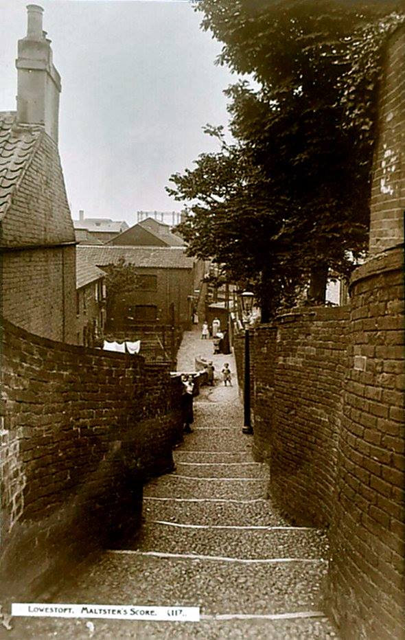
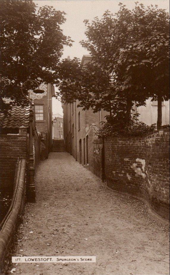
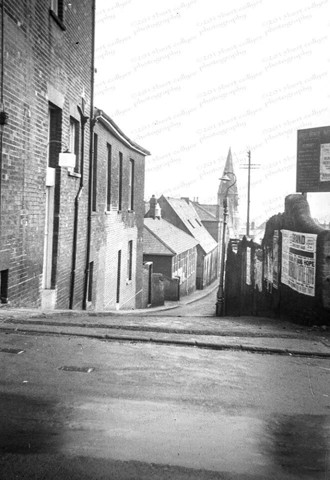
The Scores of Lowestoft

11 ECHOES

Location: Lowestoft

Catherine Allen
Catherine Allen

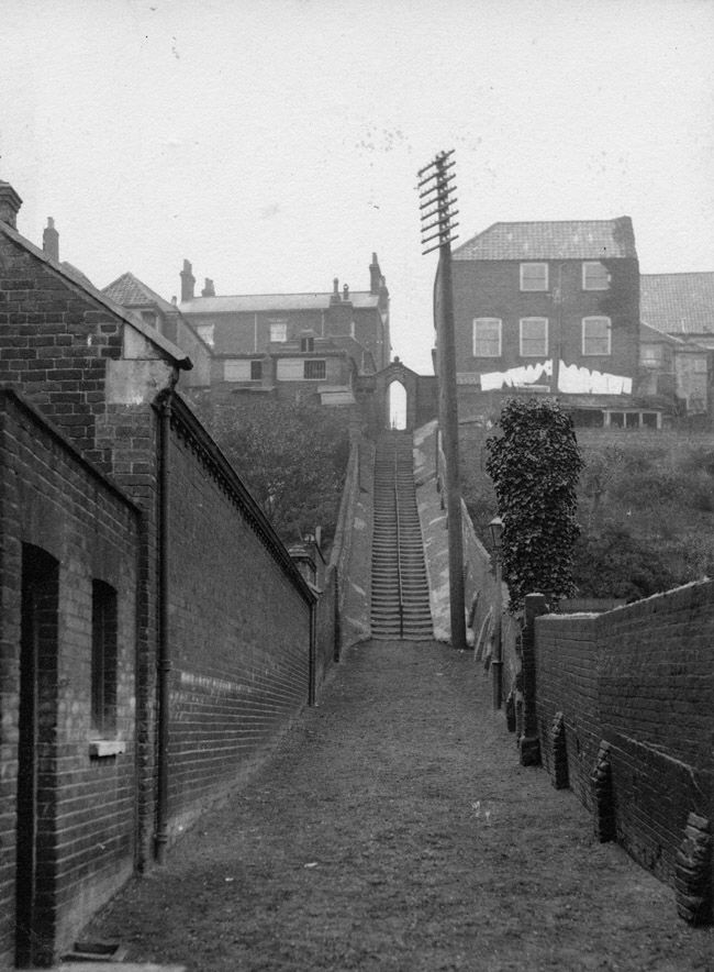
Scores are unique to the eastern area of Suffolk, where many ‘beach’ families resided. The scores were believed to have ancient origins and were formed over many years by footsteps eroding paths into the soft sloping cliffs leading to the beach, eventually forming the footpaths, with steps added to some. Although the exact origin of the word score is unknown, it is thought it could be a corruption of ‘scour’ or possibly from the Old English ‘skor’, which means to make or cut a line.

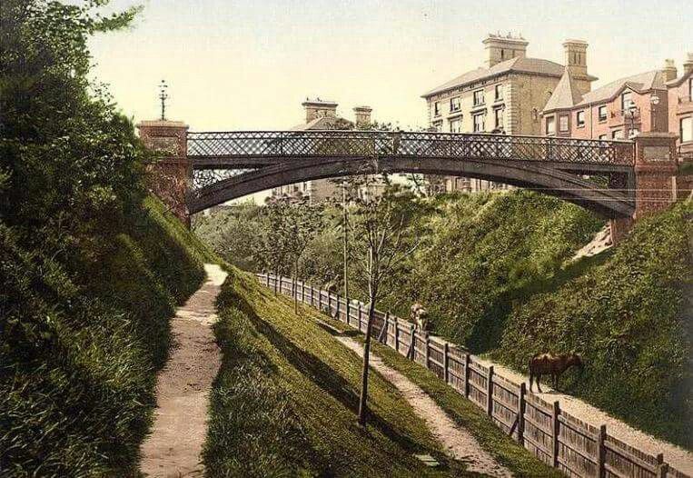
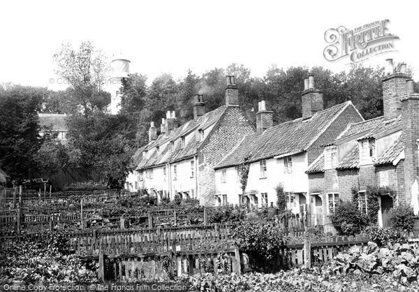
Over the centuries scores were established connecting the beach to the main road through the north end of town. The Beach Village (demolished in a slum clearance program from 1955 to 1960’s) consisted of tiny rows of 17th and 18th century fisherman’s cottages, smokehouses and net yards. The scores formed a vital link between the town and the beach village, which was built on a cliff and joined to the high street above the village by the series of steep scores. The village housed much of Lowestoft’s fishing communities through the centuries.

The original town centre had large elegant 17th and 18th century merchants houses with terraced gardens known famously as the ‘hanging gardens’. Between the houses is where the pathways known as scores appeared. Since the decline of the beach village, the scores are not used so much.

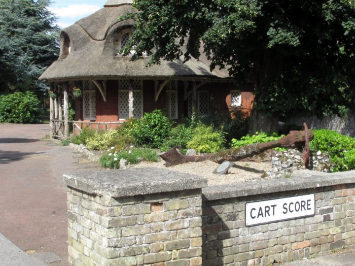
On this map are 11 of the scores that are still mostly complete and easy to access.

Created by the Great Yarmouth Preservation Trust Scores Project. Funded through Making Waves Together – National Lottery Heritage Fund, Arts Council, Great Yarmouth Borough Council and East Suffolk Council.

Words by Lesley M. Bunn. Map created by Catherine Allen.

Wilde's Score

Also known as Denny's Score, The Common Score up to the 17th century and School Score in 1842.

Denny's Score was possibly connected with Amy Denny, one of the known Lowestoft witches, who in the mid 17th century visited the house immediately south of the score, and supposedly bewitched a 9 year old child. Common Score was a name often used in the 17th and 18th centuries, indicating that it was public or for the 'common' use of townsfolk.

The Wilde Family lived in the South Flint House from the time it was built until the mid 18th century. The house was a dwelling on the High Street at the top corner of the north side of the score and is still standing, being the oldest house in Lowestoft. It has the date 1586 over the doorway.

John Wilde died in 1738 and left money to start a new school, which was built in the score behind the Flint House. During the Second World War many of the buildings were bombed during an air raid, but one school room was left and given by Bird's Eye to the Lowestoft Civic Society in 1995 for use as a heritage centre. The air raid took place on 3rd May 1941 and the building was being used as the headquarters of the Lowestoft Air Training Corps. Then on 13th June 1941 two bombs hit the Central School nearby where soldiers were sleeping, killing fourteen.

The lower part of the score was built over by part of the Bird's Eye Walls complex, causing it to be diverted into Cumberland Place in the 1970's and giving it a similar bend halfway down to that of Maltsters Score.

1 sound

DOWNLOAD OUR APP TO DISCOVER THIS TOUR AND MANY OTHERS.

play-storeapp-store

Or start creating tours, treasure hunts, POI maps... Just let your imagination guide you.


Other walks nearby

Lowestoft, The South Pier and Royal Plain

Lowestoft, The South Pier and Royal Plain

Before the Harbour and the cut to Lake Lothing was created, there was no real harbour here but a wide shingle beach. You could walk across from Kirkley to Lowestoft. If the tide was high sometimes men would carry people on their backs through knee-deep water. Lake Lothing, in Oulton Broad, was a freshwater lake completely divorced from the sea. In the 1830's and 40's a group of men wanted to create a way to get merchant boats up to Norwich without having to pass through (and pay the tolls to) Great Yarmouth and so created a series of cuts and canals through the Broads and by way of Lake Lothing that linked Lowestoft to Norwich. Then they went bankrupt. Good idea. Bad accounting. Sir Morton Peto saw the potential of turning Lowestoft from a sleepy fishing village to a major port and stepped to in finish dredging, build a proper harbour and lay down the most easterly rail line in Britain. Within the space of 15 years, Lowestoft changed completely. The town went from pastoral to posh in the space of a generation. The Royal Plain and the South Pier were two early tourist developments and were immediately ringed with grand hotels, a promenades and soon, a bustling town with trendy shops and fancy houses. A bridge was built, the first of several, linking this part of Peto's new development with the old High Street and the fishermen's beach village and soon 1850's Lowestoft was one long, narrow town stretching from the High Light to Carlton Road. This area was the gateway to the south part of Lowestoft and has grown, changed, been demolished and rebuilt along with each phase of the town's development.
free

Are you a creator?

START HERE

Privacy & cookie policy / Terms and conditions

© ECHOES. All rights reserved / ECHOES.XYZ Limited is a company registered in England and Wales, Registered office at Merston Common Cottage, Merston, Chichester, West Sussex, PO20 1BE

v2.5.15 © ECHOES. All rights reserved.