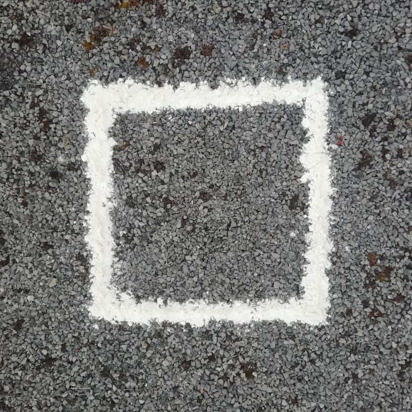
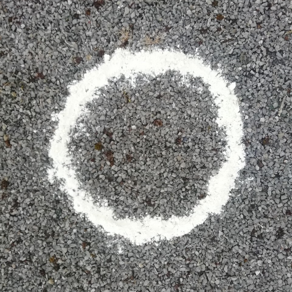
Solo exercise from outside former Port Hall Tavern BN1 5PL
room 53 ECHOES
Solo exercise, inspired by hash running and walking, so called sash !
The sash idea came about with the corona pandemic, to allow for local exercise, solo or with your bubble, etc. Though with UK rule relaxation, undertake according the present guidelines.
Ground rules, accordingly relaxed: 1) No set date or time. 2) Undertake in groups up to the maximum allowed by guidelines. 3) Keep 2 metres apart from those outside your bubble. 4) Keep 2 metres apart from others if you encounter. 5) Ideally pick sashes that are local to you. 6) Walk bits where you can't clearly see the way ahead, so that 2 metre separation from others can be maintained. 7) In the pub, wear mask according the venue guidelines, or if none, your preference. 8) Mask not recommended while drinking or eating. 9) Do the sash at your own risk.
How it works: Visible on your Apple/Android smartphone or GPS-equipped tablet, referred to here as device, are the following: A start/end square, and four circles showing the initial direction. Your device audibly 'echoes' blobs, checks, etc, when in the vicinity. You can just keep your device in your pocket or backpack, and follow the blob echoes. Or for a check echo, discover which way the blob trail continues. Three blobs in succession, or another check, and you've found the onward trail. A false echo means it's not that way. An echo saying 'on left', or 'on right', means go that way. Echoes can announce a fair few paces prior to the spot. And echoes repeat every 15 seconds if you linger. For longer stretches, echoes repeat every 15 seconds regardless of where you are within the stretch.
The true trail is 4.7 miles. Just a single trail, run or walk per preference.
About half-way around, your device echoes 'beer near', then 'beer stop'. For the latter you may like to take some refreshment in your backpack. Nearer the end, your device echoes 'circle up near', then 'circle up', so save some refreshment. After, your device echoes 'inn no', and leads you back to the start/end point.
If you get stuck, a help map is available: Zoom in on the start/end square, then tap the triangle beside, then tap SEE MORE. The blue square is the start/end, the arrows show the trail direction.
Free onroad parking possible Sunday, or after 6pm other days, in two-car loading bay outside the former pub. Ditto after 8pm any day, in nearby railway side parking.
On your device, open the Apple App Store or Android Play Store, and type ‘echoes’ in the store search box. The ECHOES app icon looks a bit like a fingerprint. Install, then open, and sign up. The trail should list under 'near you'. Tap MORE NEAR YOU if not. Possible too, is a tap on the magnifying glass, then type the trail postcode with space, or 'sash' for all. Tap a trail, then tap STREAM WALK to use online copy. Or tap DOWNLOAD or down-arrow symbol for offline copy, then tap START. Swipe down screen to refresh downloaded copy, in case changed online. Sometimes app exit then app restart are needed to fully refresh downloaded copy. Download might get stuck before reaching 100%. In which case, exit app then restart, and tap STREAM WALK instead.
Tips: Like most location apps, ECHOES uses the battery a fair bit. A fully-charged device should be enough for the trail. But you might like to take a powerbank, or spare battery. Plus a paper map as backup.
This info is viewable in a browser at https://explore.echoes.xyz/collections/hcyxMfvePpGEsHxl
Trail last updated 30 July 2021 21:40
The Echoes

Start/End

Blob 1

Blob 2

Blob 3

Check 1
and 41 more echoes…
Discover more geolocated content in our apps.
Or start creating tours, treasure hunts, POI maps... Just let your imagination guide you.